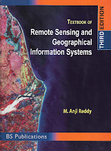
This book provides a comprehensive coverage of the techniques, applications, and technologies of remote sensing, as well as the Geographical Information System (GIS). It is organized into three parts: the first part focuses on the basic concepts of remote sensing, digital image processing, and GIS; second part deals with the application aspects in the field of natural resource management; and the third part covers applied aspects of environment and regional planning based on primary field observations.
Count of Pages: 476
Size: 31.5 MB
Release: May 2008
Created at: 4 months, 2 weeks ago
Last Updated: May 1, 2025, 7:16 a.m.
GIS & RS -> Remote Sensing
🔗 Link copied to clipboard!


